Day 13: Klamath Falls, OR to Eureka, CA
I’m back! Not really. I still have two more days to get home because this state is large and I am slow. Eureka is only about 60 miles south of the Oregon-California border, so even though I’m only going half way down the length of the state, I still have about 320 miles to go.
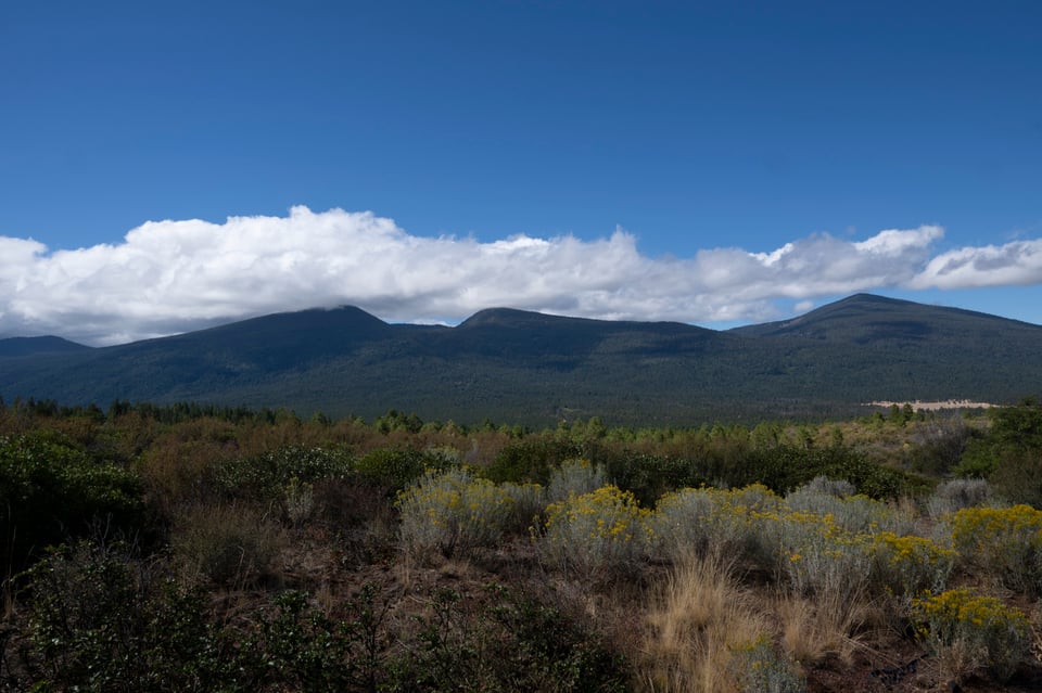
Today was a long one. Starting in Klamath, got up and went to this local coffee shop and had a weird but good bagel sandwich; they added cream cheese to a standard egg and bacon. Good coffee too. Downtown Klamath falls, for some reason, is all one-way streets. I’m sure there’s some theory of traffic control that makes them make sense, but a grid of alternating one-ways is just a pain in the ass every time I’ve encountered it. Anyway.
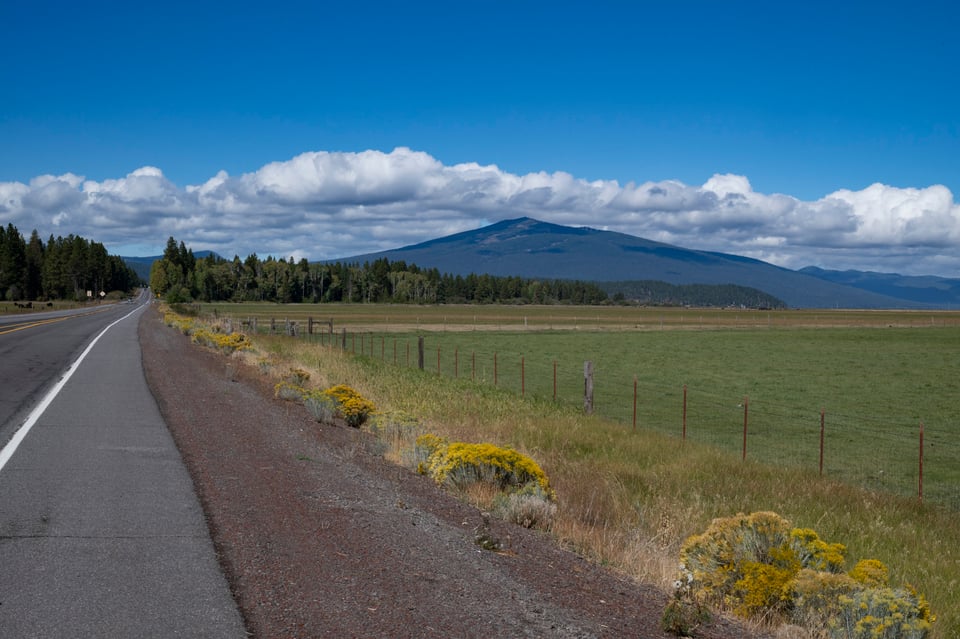
Got gas, then went to a different little store to get a bottle of water, then got moving out of town. Google was on one again, took me on a weird route to get to 140, along this neighborhood street up the west side of Upper Klamath Lake. Speed limit 35mph, signs that said ‘NO THRU TRAFFIC’, but me and a bunch of other people were going through anyway. It seemed like a nice place, a mix of residential and like, marine light industrial; instead of trailers on one side of the road there were boats in dry dock (held up by big props) that looked like they might be semi-permanently landlocked.
Got out of the neighborhood and ran into some construction, but my luck was still hitting today, because I caught the tail end of the wave going in the westbound direction. When a two lane road is down to one lane, only one direction can go at a time… is that obvious? Anyway, if the flag person hadn’t waved me on I’d have been sitting there idling for 15 or 20 minutes. As it was I could go through with everyone and be near the back of the wave of traffic, with a big gap between myself and the next wave. Perfect.
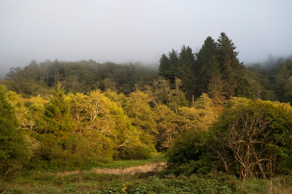
I stopped a couple of times to take pictures just off the road; the light and clouds were pretty good this morning. Then there was a lot of up and down, not high passes but Oregon will mark the high point anyway. Two at about 4500ft and one at 1500, barely even a hill.
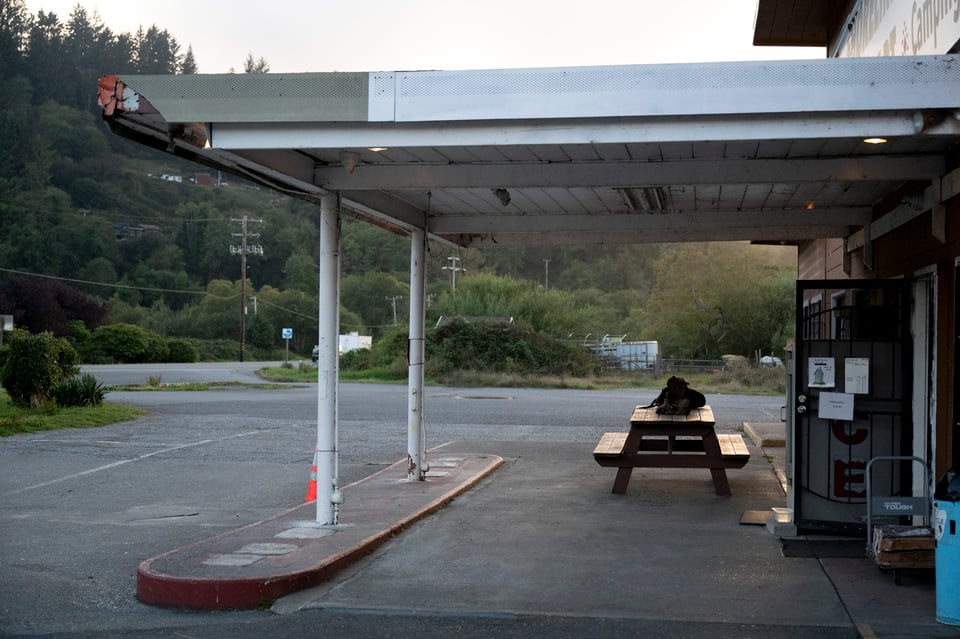
By the time I got to White City I wanted a break and a snack, so I turned off 140 to look for a convenience store. The one I found, when I came out with my vitamin water and my chips, had a guy who’d forgotten the keys to his gas cap on his honda motorcycle, so he’d taken it apart and was putting in fuel somehow (probably took off the petcock? idk) to get himself home. Kind of an odd sight, to be honest, rando carrying a motorcycle gas tank upside down to the shady side of the building. I didn’t even process it at first, until he asked me if that was my GS, and I said yes, and he told me about his woes.
Got back on the road, headed west, but because of my detour for a snack, Google Maps re-routed me to hop on 5 for 20 miles, and at first I was like, it’s fine, it’s only 20 miles, but I got on the interstate and was immediately surrounded by semis and so I bailed for 99, which runs parallel to 5 in those parts, and is a lot friendlier. Just before my turn onto 199 in Grants Pass, I saw a spot for lunch, Eddy’s Burgers. It had good vibes, so I decided to take a chance. Went in and I was right: great burger, good fries, decent barbecue sauce.
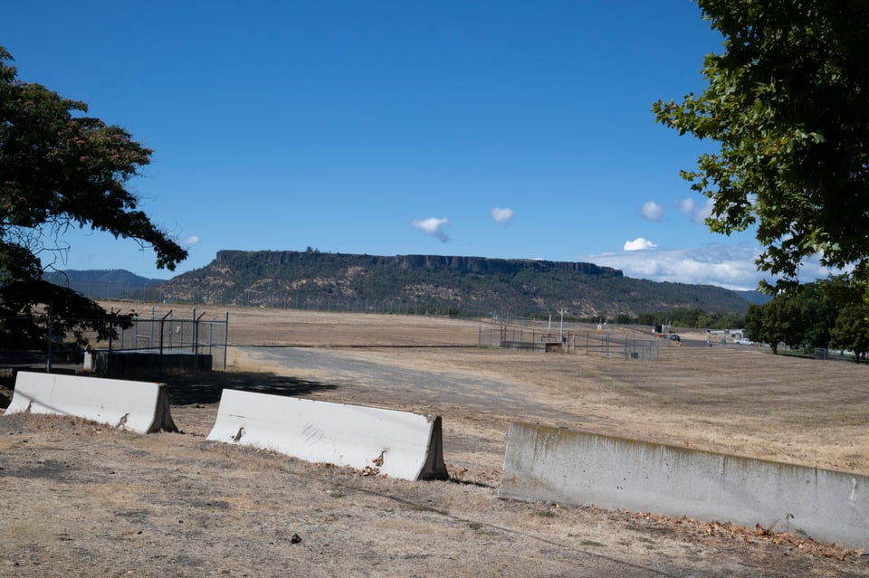
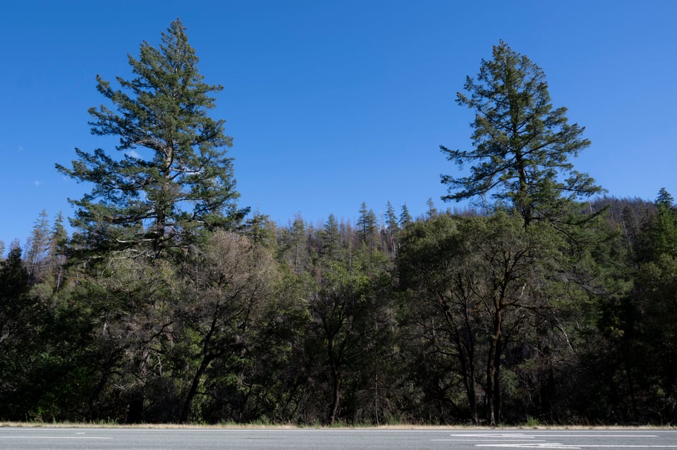
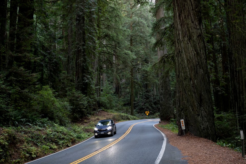
After Grant’s Pass, there’s a nice section of sort of more arid landscape? Big Mesa and fewer trees. That doesn’t last very long before the road is surrounded by redwoods, and then the California border. I’m getting ahead of myself, though; I stopped in Kerby for a cold drink, then I took a selfie with the California welcome sign. The agricultural inspector at the border just waved me through (I suppose I could have two panniers full of seed, but that’s pretty unlikely) and then I was in Redwood State and National Park(s). More absurdly beautiful trees, just really majestic. Lots of traffic, seemed like there must be a car show somewhere in the other direction, lots of custom cars going north while I was going south.
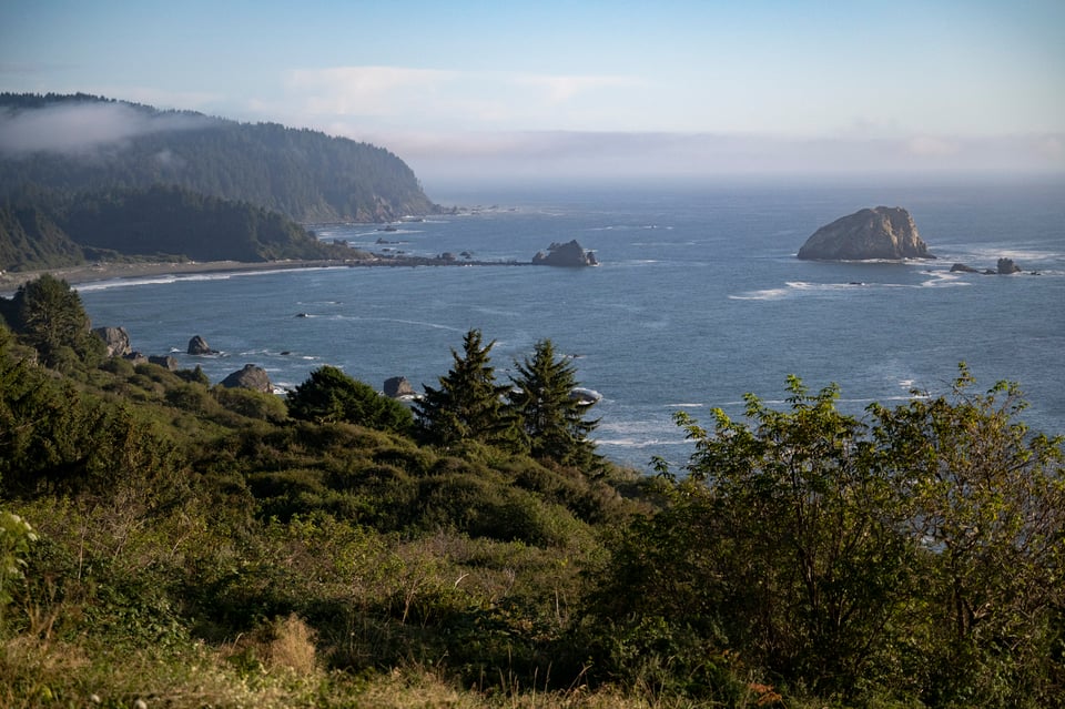
After the first redwoods and to the coast at Crescent City, I stopped at the first place I could really see the ocean and took a photo; then I rode down a little ways and sat on the beach on a big driftwood log for a bit.
Then, of course, I drove down the coast on 101. This far north it goes back and forth from freeway to not-freeway, depending on the local traffic. Of course I had to stop at several more pullouts for more pictures.
Finally, after 8 hours (of a predicted 5) on the road, I was at my hotel. Ordered dinner to the room, had a nice chat with Sophie, she encouraged me to take my time getting down the coast and not pack it all into one day or worse just do a long day on the 101 inland like I had been thinking, because I could potentially be home tomorrow that way. So tomorrow, I’m going to Fort Bragg.